Ben's WX Summary
- Updated: Tuesday @ 10:32pm
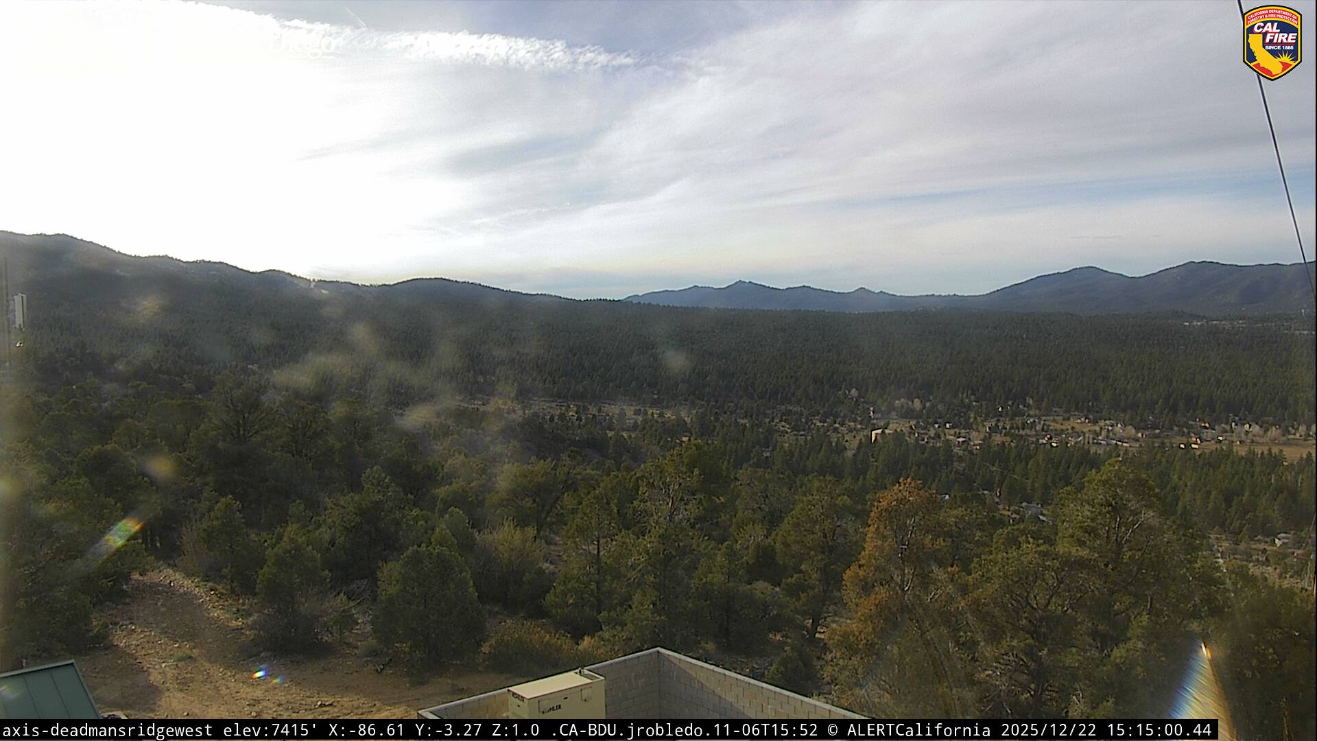
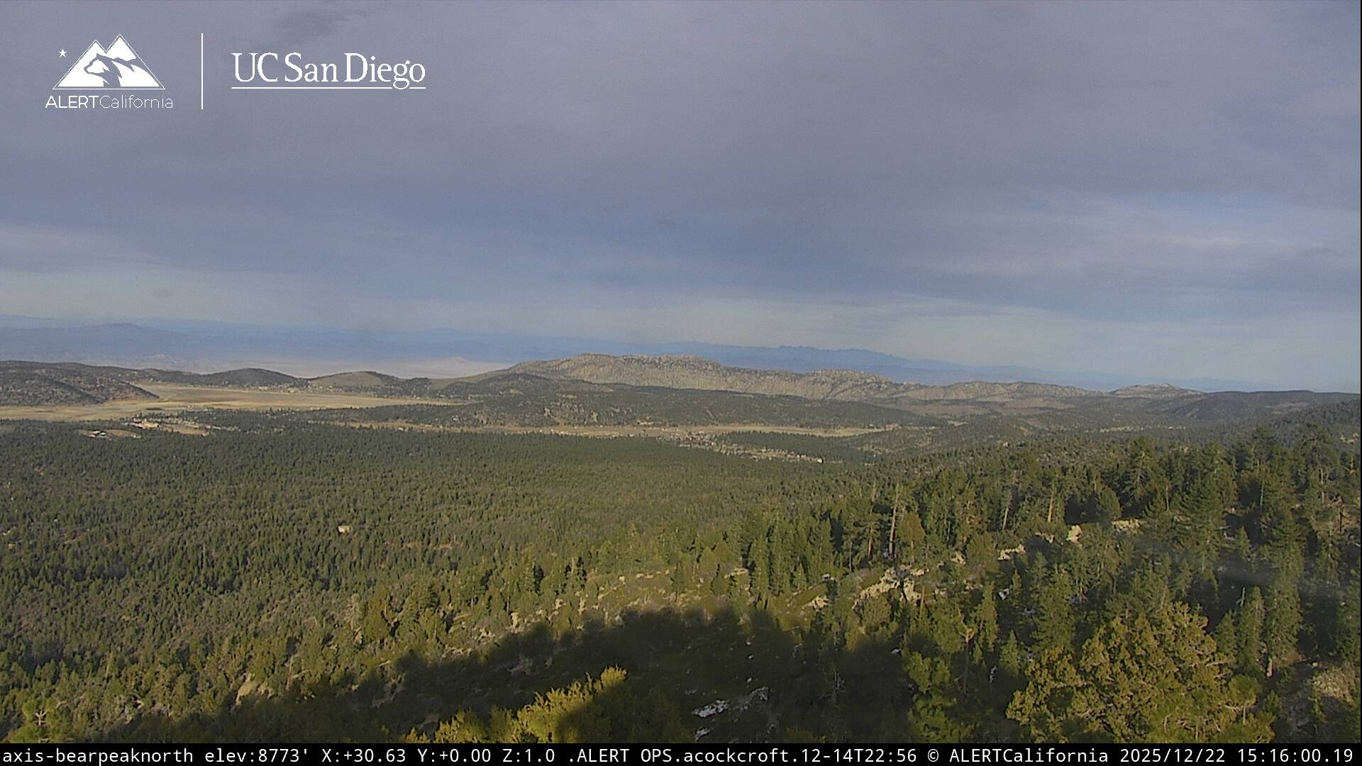
High pressure over West Texas will bring above normal temperatures for a couple more days and higher humidity. The flow around this ridge will draw enough tropical moisture north for a chance of showers and thunderstorms through Wednesday, drying on Thursday. Troughing will return to the West Coast this weekend generating gusty west winds and cooler temperatures as the onshore flow strengthens. Expect partly to mostly cloudy skies through Wednesday with a chance of showers and thunderstorms. Some storms may be capable of producing gusty winds, frequent lightning, and brief heavy downpours. Daytime highs will remain in the lower 80s both Wednesday and Thursday, as overnight lows cool to the upper 40s and 50s. A drier southwest flow will develop on Thursday, pushing moisture east of us with a cooling trend through the weekend as temperatures return. A stronger onshore flow will also support gusty west winds 10-20 mph at times, mainly during the afternoons, with the typical June gloom down near the coast. Longer range forecasts keep Southern California dry through next week with a gradual warm-up as we approach the Independence holiday. Forecast models are leaning towards above-average rainfall by early July, is a good sign we could see a return of the monsoon flow, possibly around the July 4th holiday weekend.